Your drone and satellite data, turned into decisions
WHAT IS CULTIWISE?
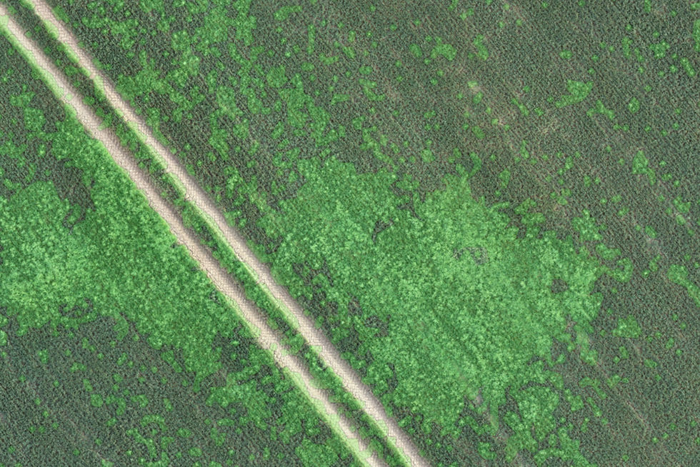
CultiWise is an online, web‑based AI platform that stitches your drone imagery into field maps, detects and maps weeds, and builds variable‑rate plans for spraying, fertiliser and seed — using both drone and satellite data, all in your browser.
CULTIWISE
The power is in your hands
CultiWise is a web based platform that allows you to import a wide variety of data, make your own weed detections and variable rate plans including spot spray plans and seed.
Free to try— sign up directly from our website for free.
Drone image stitching— flying your own fields? Let CultiWise stich your images and process your data.
Generate bespoke weed maps — make your own bespoke plans and weed maps.
Multiple outputs - generate plans for spot spraying, fungicides, seed and much more.
Satellite data - satellite data is included going back years.